Cartographies of Danger
Mapping Hazards in America
Mark Monmonier
Mapping Hazards in America
Mark Monmonier
- Author(s)
- Mark Monmonier
- Publisher, year
- Chicago ; London : The University of Chicago Press, 1997
- Scope
- 363 p., illustrated, 24 cm.
- ISBN
- 0226534189
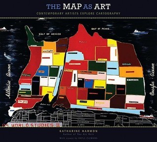
Maps are used not only to navigate and to display quantitative data but also to reflect our perceptions of the world. Geographer Monmonier (How To Lie with Maps, Univ. of Chicago, 1996) here investigates the mapping of environmental hazards and how it relates to risk perception. Cartographies of Danger doesn't restrict itself to natural hazards such as floods, earthquakes, or volcanoes, but also covers crime, pollution, and radon using the same principles of hazard-mapping. His examples of hazard maps demonstrate the relationships among mapping, scientific understanding of hazards, and the perception of risk.
- Keywords
- kartografie
- Location
- Cabinet 13 - 1: Cartografie / Cartography
- Remarks
- Incl. Notes and Index.